• Connexion
  • Premium
  • myVentusky
  • Prévisions
  • Animation des vents
    ECMWF, GFS, ICON, GEM
    Two New High-Resolution Weather Models on Ventusky Model

    Tyin bom, Innlandet

    Monde / Norvège / Oppland

    61°13'N / 8°14'E / Altitude 1079 m / 11:26 29/10/2026, Europe/Oslo (UTC+1)
    Tyin bom, Innlandet - Webcams
    ● Il y a 10 minutes

    Lieu Tyin bom, Innlandet - Prévisions
    Fourni par webkamera.atlas.vegvesen.no from vegvesen.no

    Ajouter une webcam Signaler la webcam

    Hier & Aujourd'hui

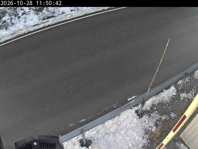
    Tyin bom, Innlandet - Hier
    Hier
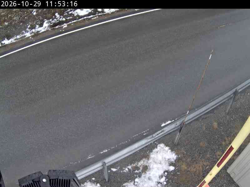
    Tyin bom, Innlandet - Aujourd'hui
    Aujourd'hui
    Comparaison de l'image de la dernière heure disponible (à droite) avec l'image d'il y a 24 heures (à gauche).

    Webcams les plus proches

    ● Tyin bom, Innlandet 0 km webkamera.atlas.vegvesen.no

    ● Laerdal › nord-vest 2 km www.yr.no

    ● Tyinkrysset › nord 2 km www.yr.no

    ● Tyinkrysset › sør 2 km www.yr.no

    ● Filefjell - Tørrisheisen 3 km tyinfilefjell.no