
30°50'с. ш. / 83°15'з. д / Высота 62 m / 02:23 06.11.2026, America/New_York (UTC-6)
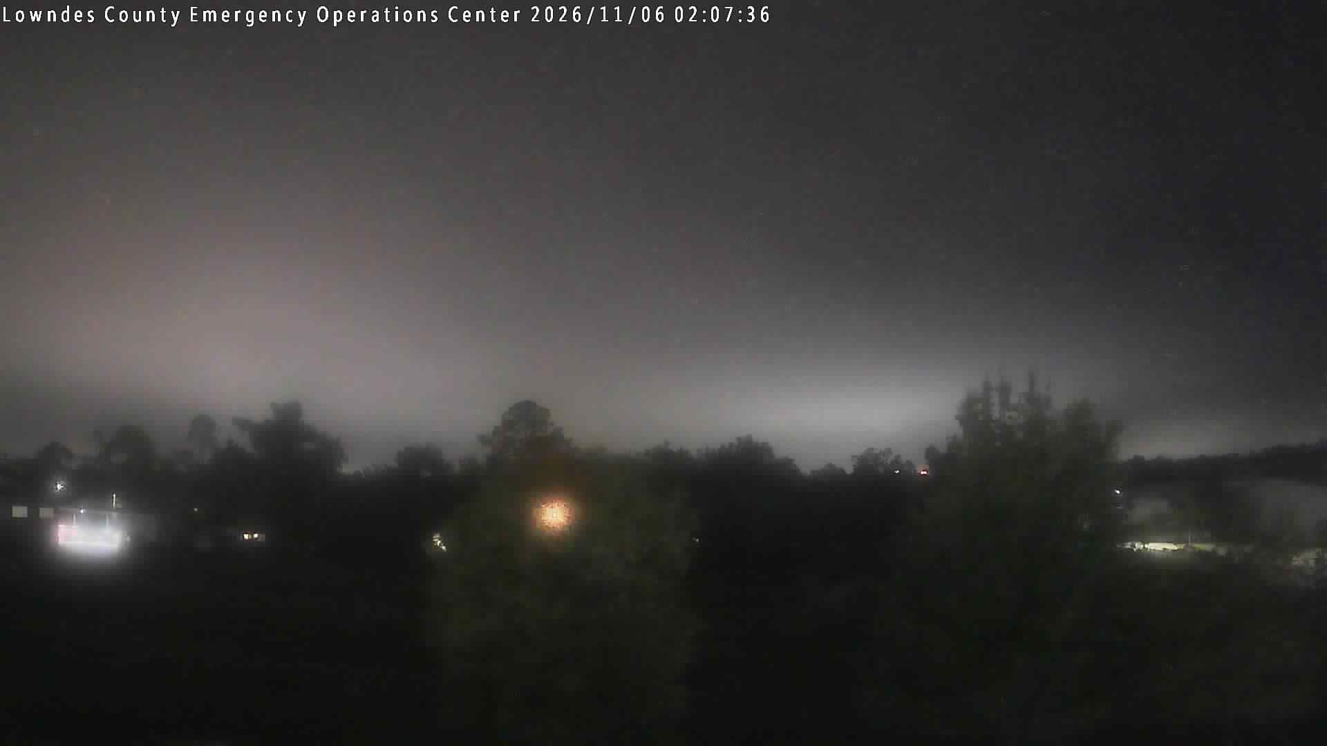
| Местность | Lowndes County Emergency Operations Center - Cloud Camera - Прогноз |
| Поставщик | lowndes.weatherstem.com |
| Направление | запад |
Добавить веб-камеру Сообщить о веб-камере
● Valdosta State University Police Department - Cloud Camera 4 km lowndes.weatherstem.com
● LOWN-0006: SR 7 at Val Del Rd (Lowndes) 9 km 511ga.org
● Lowndes County Utilities Kinderlou - Cloud Camera 11 km lowndes.weatherstem.com
● GA_WithlacoocheeR_SkipperBridge 12 km usgs.gov
● LOWN-0003: SR 125 at Radar Site Rd (Lowndes) 14 km 511ga.org
● GDOT-1170: I-75 S past FranksCreekRd MM 24.4 (Lowndes) 15 km 511ga.org