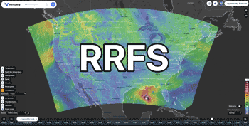
39°15'N / 80°18'W / Altitude 313 m / 07:56 2026/07/22, America/New_York (UTC-4)
From: 2026/07/22, 05:01
To: 2026/07/22, 12:15
...The National Weather Service in Charleston has issued a Flood Warning for the following rivers in West Virginia... West Fork River above Clarksburg affecting Harrison County. For the West Fork River...Major flooding is forecast. * WHAT...Major flooding is forecast. * WHERE...West Fork River above Clarksburg. * WHEN...From early this morning to late tonight. * IMPACTS...At 14.0 feet, Water begins to enter some homes along the low sections near the river. Liberty Avenue floods. At 15.0 feet, Homes along the low sections of the river on Liberty Avenue and Route 19 flood. At 16.0 feet, Areas of Baltimore Street and River Road flood. At 18.0 feet, Major flooding occurs along the river in Clarksburg. * ADDITIONAL DETAILS... - At 11:15 PM EDT Tuesday the stage was 5.2 feet. - Bankfull stage is 12.0 feet. - Forecast...The river is expected to rise above flood stage early this morning to a crest of 19.0 feet this morning. It will then fall below flood stage this evening. - Flood stage is 14.0 feet. - Flood History...This crest compares to a previous crest of 18.3 feet on 11/20/2003. - http://www.weather.gov/safety/flood
From: 2026/07/22, 05:27
To: 2026/07/22, 09:30
* WHAT...Flooding caused by excessive rainfall continues. * WHERE...Barbour County in northeastern West Virginia... Northwestern Randolph County in northeastern West Virginia... Northeastern Upshur County in northeastern West Virginia... Harrison County in northern West Virginia... Taylor County in northern West Virginia... * WHEN...Until 930 AM EDT. * IMPACTS...Flooding of rivers, creeks, streams, and other low-lying and flood-prone locations is imminent or occurring. * ADDITIONAL DETAILS... - At 527 AM EDT, Doppler radar indicated heavy rain due to thunderstorms. Flooding is already occurring in the warned area. Between 1.5 and 3.5 inches of rain have fallen. - Some locations that will experience flooding include... Clarksburg, Grafton, Philippi, Audra State Park, Bridgeport, Shinnston, Belington, Stonewood, Nutter Fort, Lumberport, Anmoore, Enterprise, West Milford, Junior, Lost Creek, Flemington, Galloway, Rosemont, Meadland and Century. - This includes the following highways... Interstate 79 between mile markers 109 and 128. Route 50 in West Virginia between mile markers 69 and 82. - http://www.weather.gov/safety/flood