
54°8'N / 1°25'W / Altitude 41 m / 19:25 2026/11/01, Europe/London (UTC+0)
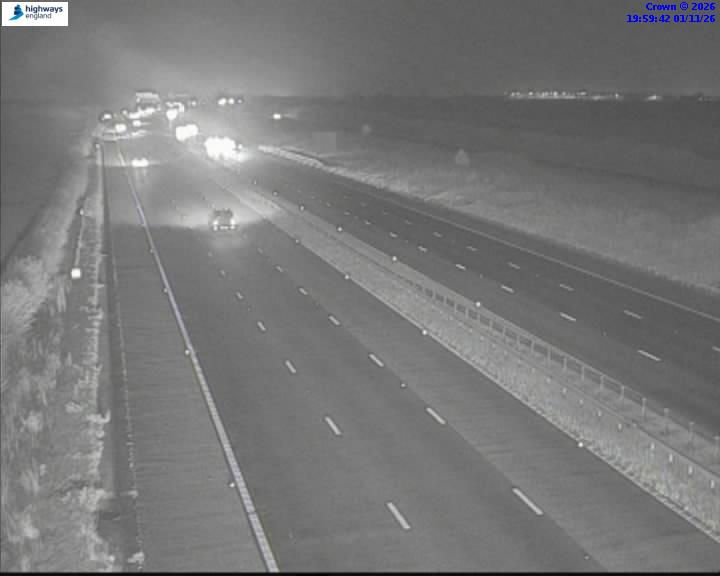
| Location | A1(M) Dishforth Airfield - Forecast |
| Provided by | National Highways Traffic England from public.highwaystrafficcameras.co.uk |
| View | north |
● A1(M) J49 Dishforth Interchange 1 km National Highways Traffic England
● A168 Dishforth Interchange 2 km National Highways Traffic England
● A1(M) Spur A168 J49 Dishforth Interchange 2 km National Highways Traffic England
● A1(M) J48 Boroughbridge Interchange 7 km National Highways Traffic England
● Carlton Miniott 9 km gov.uk
● A1(M) J47 Allerton Park Interchange 14 km National Highways Traffic England