43°39'N / 72°22'W / Altitude 366 m / 17:38 2026/11/12, America/New_York (UTC-5)
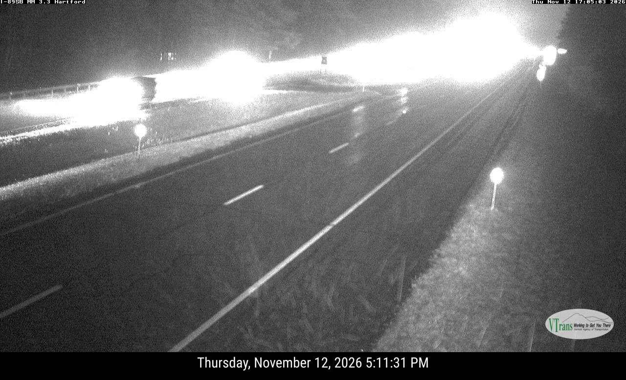
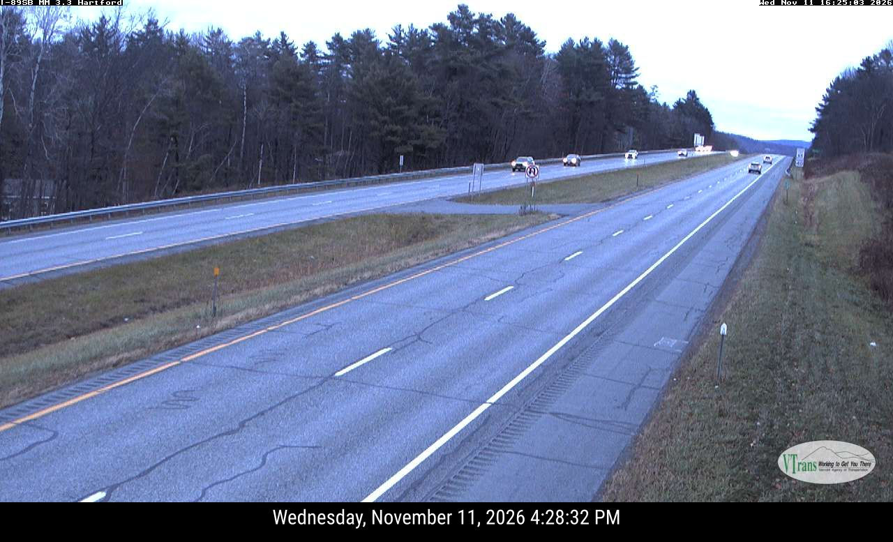
| Location | HARTFORD I-89 South - Forecast |
| Provided by | newengland511.org |
| View | south |
● Hartford High School - East Camera 4 km windsor.weatherstem.com
● Hartford High School - West Camera 4 km windsor.weatherstem.com
● WILDER I-91 South 5 km newengland511.org
● NH 120 89 Exit 18 10 km
● Saskadena Six Ski Area 15 km bobcrean.com
● Montcalm Golf Club - Montcalm Golf Club South View 17 km grafton.weatherstem.com