• Login
  • Premium
  • myVentusky
  • Forecast
  • Wind Animation
    ECMWF, GFS, ICON, GEM
    Two New High-Resolution Weather Models on Ventusky Model

    Cheyenne Ave & Rampart-Durango

    World / United States / Nevada

    36°13'N / 115°16'W / Altitude 826 m / 08:14 2026/11/05, America/Los_Angeles (UTC-8)
    Cheyenne Ave & Rampart-Durango - Webcams
    ● 19 min ago

    Location Cheyenne Ave & Rampart-Durango - Forecast
    Provided by nvroads.com

    Add webcam Report webcam

    Yesterday & Today

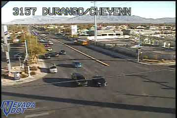
    Cheyenne Ave & Rampart-Durango - Yesterday
    Yesterday
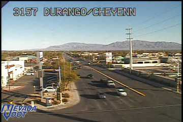
    Cheyenne Ave & Rampart-Durango - Today
    Today
    Comparison of the image from the last available time (right) with the image from 24 hours ago (left).

    Nearest webcams

    ● US 95 NB N Rancho 5 km nvroads.com

    ● US 95 SB E of Rainbow 6 km nvroads.com

    ● CC-215 WB N Tenaya 7 km nvroads.com

    ● Sahara Ave & Durango Dr 8 km nvroads.com